Shar-mountain or shortened Šara is a mountain located on the border of Serbia and Macedonia. She is also known for other names: Skardus, Imperial Mountain and Monte Argentaro dating back to the Middle Ages.
According to its basic morphotectonic characteristics, it belongs to the Sharsko-Pind Mountain System, or the Dinarides.
The Shar alpine meadows are spacious, either with a horizontal projection of 80 to 85 km, or territorially from the Kačanička gorge in the northeast, with the peak Ljuboten, up to the upper stream of Radika and Vrutok in the south, the territorial border of the Macedonian-Albanian-Serbian border.
The width of this mountain ranges from 20 to 25 km, so it can be assumed that the area of the Shar alpine area covers over 1,600 km².
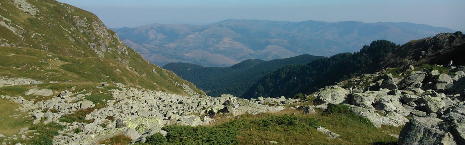
Above the spacious mountain ridge (average altitudes of 2,300m), with numerous peaks and presets. That is why the ridge of this mountain creates an impression of strong poisoning.
There are two directions in the orography, the section was from Ljuboten to Karanikola, it is heading north-east - southwest, while the other part, from Karanikola to the upper stream of Radika and Vrutok, is north-south direction. This second part is much more diluted, and some parts create the impression of a separate entity (the central part with Tito's top), and as such they carry local names: Brodska planina, Rudoka, Vraca, Radika planina etc.
Below the very ridge Shar Planina lie numerous cirques, in which many beautiful glacial lakes, also known as Mountain Eyes, are situated, while under the cirques there are formed deep-valued valleys, which most often represent the sources of many rivers.